|
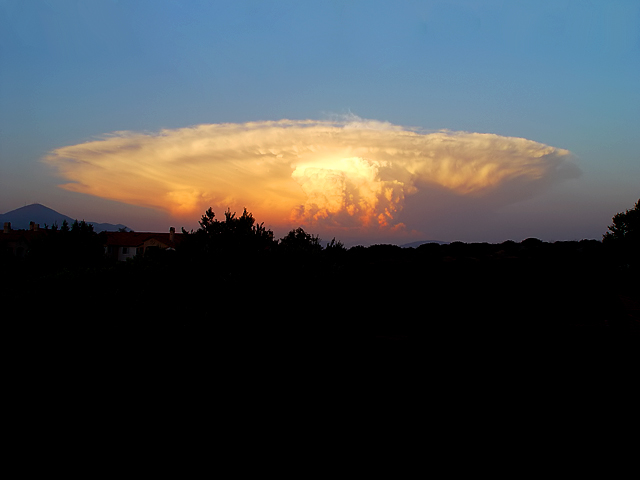
This is called a cumulonimbus cloud, the classic formation of a cell of cumulus clouds building higher and higher until severe winds aloft (30-40,000 feet) start spreading the top of the cloud into a fan shape. This is the condition in which severe weather is formed ie. thunderstorms, hail, high winds and tornados. Usually we don't see this much extreme broad top-front of the approaching cumulonimbus because of other clouds normally in the area surrounding it. This isolated single-cell is unique and unusual in that sense. |




 Add photograph to your favorites
 Add photographer to your favorites


 Photographer found comment helpful.


